
- "Requisition Order List statistics in 1891 (acquired and compiled on December 31, 1890)" Statistical Map
- This data which were published in 1891 (acquired and compiled on December 31, 1890) were converted into statistical maps using GIS. Hereafter, data are scheduled to be uploaded successively. To view the data in slideshow format, please click each link below (You can also open it in another window).
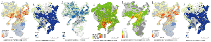
- ・「Prefectural Statistical Book」Statistical
Map(in Japanese only)
- This data were taken from statistical books of each prefecture/metropolis dating back from the Meiji Period up to the present time and prior to World War II, all of which were converted into statistical maps using GIS. Hereafter, data are scheduled to be uploaded successively. To view the data in slideshow format, please click each link below (You can also open it in another window). Currently, Ibaraki Prefecture is presented as the pilot area.Hereafter, data will be uploaded successively. To view the data in slideshow format, please click each link below (You can also open it in another window).
・ For any inquiries regarding this website, please contact the web manager.